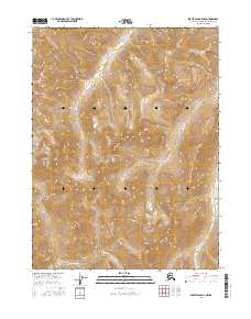
2016 Map of Survey Pass B-5 NW
USGS Topo · Published 2016About this map
Gates of the Arctic National Park dominates this portion of the Alaska-Northwest Arctic Borough, where the high terrain is defined by the prominent peak of Mt Chitiok. The landscape is a complex network of glacial valleys and drainage systems, characterized by the southward flow of the Mauneluk River and its tributaries. In the northern reaches, Iyahuna Cr cuts through the high-elevation contours, while Angayu Cr emerges in the southeast corner. This 2016 survey provides a precise record of the hydrologic patterns and natural boundaries within one of the most protected wilderness areas in the United States, illustrating the topographical isolation of the central Brooks Range before any modern industrial footprint reached these specific coordinates.
Find a feature on this map
10 named features on this map. Tap any name to fly to it.
Don’t see what you’re looking for? This feature index may not catch every label — zoom into the map to look around manually.
Map Details
Editions of this 2016 Survey Pass B-5 NW Map
This is the sole edition of this map. No revisions or reprints were ever made.
Other maps of this area

1951 · Survey Pass
USGS Topo · 1:250,000

1956 · Survey Pass
USGS Topo · 1:250,000

1964 · Survey Pass
USGS Topo · 1:250,000

1966 · Survey Pass
USGS Topo · 1:250,000
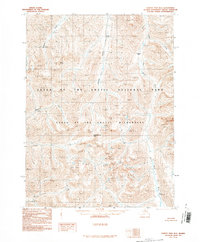
1990 · Survey Pass B-5
USGS Topo · 1:63,360
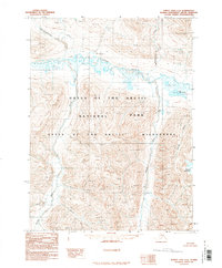
1990 · Survey Pass C-6
USGS Topo · 1:63,360
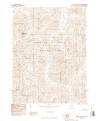
1990 · Survey Pass B-6
USGS Topo · 1:63,360
1990 · Survey Pass C-5
USGS Topo · 1:63,360
2016 · Survey Pass B-5 SE
USGS Topo · 1:25,000
2016 · Survey Pass B-6 SE
USGS Topo · 1:25,000