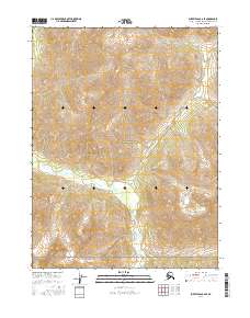
2016 Map of Survey Pass B-6 SE
USGS Topo · Published 2016About this map
The Gates of the Arctic National Park encompasses the vast majority of this landscape in the Northwest Arctic Borough. The terrain is defined by the drainage systems of the Mauneluk River and Tuik Cr, which flow through the southern half of the quadrangle. This 2016 survey illustrates the high-latitude wilderness character of the region, where no permanent roads or settlements appear. The intricate contour lines reveal a complex network of ridgelines and valleys, highlighting the topographic isolation of this portion of the Brooks Range. The land is divided by several township and range boundaries, including t22n r14e and t22n r15e, which provide a formal grid for this otherwise undeveloped expanse of federal parkland.
Find a feature on this map
9 named features on this map. Tap any name to fly to it.
Don’t see what you’re looking for? This feature index may not catch every label — zoom into the map to look around manually.
Map Details
Editions of this 2016 Survey Pass B-6 SE Map
This is the sole edition of this map. No revisions or reprints were ever made.
Other maps of this area

1951 · Survey Pass
USGS Topo · 1:250,000

1956 · Survey Pass
USGS Topo · 1:250,000

1964 · Survey Pass
USGS Topo · 1:250,000

1966 · Survey Pass
USGS Topo · 1:250,000
1986 · Survey Pass A-5
USGS Topo · 1:63,360
1986 · Survey Pass A-6
USGS Topo · 1:63,360
1990 · Survey Pass B-5
USGS Topo · 1:63,360
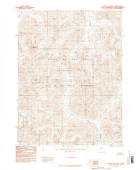
1990 · Survey Pass B-6
USGS Topo · 1:63,360
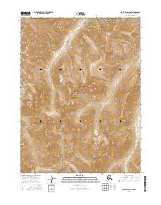
2016 · Survey Pass B-5 NW
USGS Topo · 1:25,000
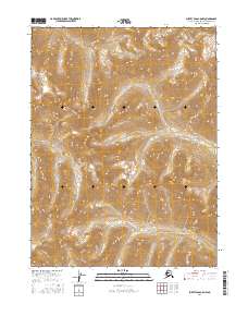
2016 · Survey Pass A-5 NW
USGS Topo · 1:25,000