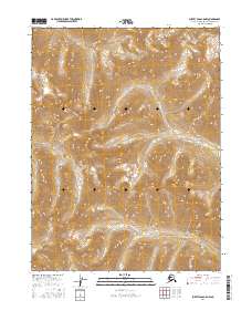
2016 Map of Survey Pass A-5 NW
USGS Topo · Published 2016About this map
Schwatka Mountains define the high-altitude topography of this wilderness region within the Northwest Arctic Borough. The landscape is characterized by steep elevation changes and drainage networks, most notably the path of Beaver Cr, which carves through the central and eastern portions of the terrain. This 2016 survey documents the untouched character of the mountains before modern digital mapping became the primary standard, preserving the specific township and range boundaries including t21n r15e, t21n r16e, t20n r15e, and t20n r16e. Without established roads or settlements, the map serves as a primary record for navigating the complex physical geography and seasonal waterways of the Arctic interior.
Find a feature on this map
6 named features on this map. Tap any name to fly to it.
Don’t see what you’re looking for? This feature index may not catch every label — zoom into the map to look around manually.
Map Details
Editions of this 2016 Survey Pass A-5 NW Map
This is the sole edition of this map. No revisions or reprints were ever made.
Other maps of this area

1951 · Survey Pass
USGS Topo · 1:250,000

1956 · Survey Pass
USGS Topo · 1:250,000

1964 · Survey Pass
USGS Topo · 1:250,000

1966 · Survey Pass
USGS Topo · 1:250,000
1986 · Survey Pass A-5
USGS Topo · 1:63,360
1986 · Survey Pass A-6
USGS Topo · 1:63,360
1990 · Survey Pass B-5
USGS Topo · 1:63,360
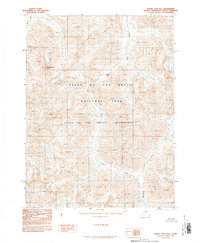
1990 · Survey Pass B-6
USGS Topo · 1:63,360
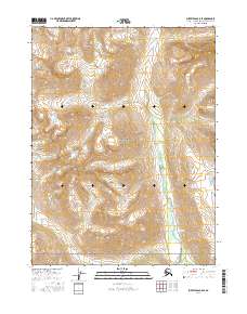
2016 · Survey Pass B-5 SE
USGS Topo · 1:25,000
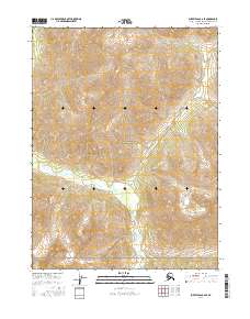
2016 · Survey Pass B-6 SE
USGS Topo · 1:25,000