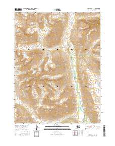
2016 Map of Survey Pass B-5 SE
USGS Topo · Published 2016About this map
The Schwatka Mountains dominate this high-latitude terrain, where the peaks and ridges define the northern reaches of Gates of the Arctic National Park. This 2016 survey documents a landscape primarily shaped by the winding course of the Reed River, which flows southward through several townships including t23n r17e and t21n r17e. A notable geological feature in this wilderness is the Reed River Hot Spring, located near the riverbank in the lower portion of the sheet. The map represents a purely natural environment, illustrating the drainage patterns and high-elevation topography of the Northwest Arctic Borough without any recorded roads, permanent settlements, or structures.
Find a feature on this map
10 named features on this map. Tap any name to fly to it.
Don’t see what you’re looking for? This feature index may not catch every label — zoom into the map to look around manually.
Map Details
Editions of this 2016 Survey Pass B-5 SE Map
This is the sole edition of this map. No revisions or reprints were ever made.
Other maps of this area

1951 · Survey Pass
USGS Topo · 1:250,000

1956 · Survey Pass
USGS Topo · 1:250,000

1964 · Survey Pass
USGS Topo · 1:250,000

1966 · Survey Pass
USGS Topo · 1:250,000
1986 · Survey Pass A-5
USGS Topo · 1:63,360
1986 · Survey Pass A-4
USGS Topo · 1:63,360
1990 · Survey Pass B-5
USGS Topo · 1:63,360
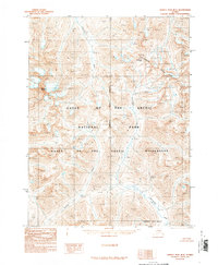
1990 · Survey Pass B-4
USGS Topo · 1:63,360
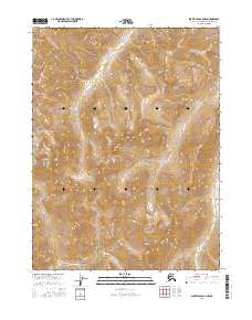
2016 · Survey Pass B-5 NW
USGS Topo · 1:25,000
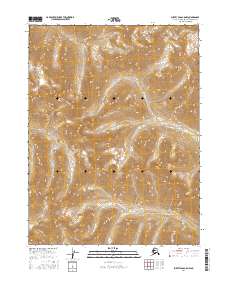
2016 · Survey Pass A-5 NW
USGS Topo · 1:25,000