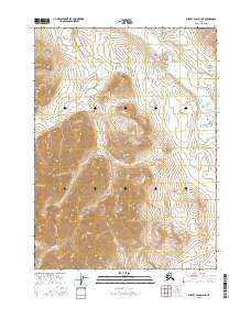
2016 Map of Survey Pass D-2 NE
USGS Topo · Published 2016About this map
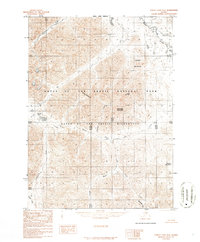
Kaviktit Mtn dominates the central terrain of this high-latitude survey, situated within the protected wilderness of Gates of the Arctic National Park. The landscape is defined by its drainage systems, with Easter Cr flowing through the northern sectors while Passless Cr and Juli Cr trace paths through the southern reaches. This 2016 data reflects the preserved state of the Yukon-Koyukuk region, where the Public Land Survey System grids of t30n r22e and surrounding townships mark out a territory devoid of permanent settlements or infrastructure. The close contour intervals reveal a complex system of ridges and valleys characteristic of the Brooks Range, showing the natural hydrology before any modern anthropogenic alteration.
Find a feature on this map
9 named features on this map. Tap any name to fly to it.
Don’t see what you’re looking for? This feature index may not catch every label — zoom into the map to look around manually.
Map Details
Editions of this 2016 Survey Pass D-2 NE Map
This is the sole edition of this map. No revisions or reprints were ever made.
Other maps of this area

1951 · Survey Pass
USGS Topo · 1:250,000

1951 · Killik River
USGS Topo · 1:250,000

1956 · Survey Pass
USGS Topo · 1:250,000

1956 · Killik River
USGS Topo · 1:250,000

1964 · Survey Pass
USGS Topo · 1:250,000

1966 · Survey Pass
USGS Topo · 1:250,000
1986 · Killik River A-2
USGS Topo · 1:63,360
1986 · Killik River A-1
USGS Topo · 1:63,360
1986 · Survey Pass D-1
USGS Topo · 1:63,360
1986 · Survey Pass D-2
USGS Topo · 1:63,360