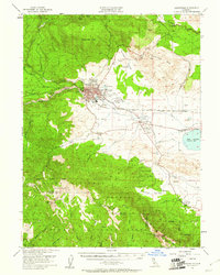
1954 Map of Susanville
USGS Topo · Published 1961About this map
Susanville sits at the foot of the Diamond Mountains, serving as a hub where the Southern Pacific railroad meets a network of local irrigation and transport. This mid-century survey illustrates a landscape defined by its water management and agricultural infrastructure, featuring the Standish Irrigation Canal and Lake Leavitt. The presence of the Susanville Indian Rancheria and the historic Peter Lassens Grave provides significant genealogical and cultural context for the region. To the south, the terrain rises sharply into the Lassen National Forest, where features like Red Rock Lookout and Thompson Peak overlook the Elysian Valley. The map also captures essential local institutions of the era, from the County Fairgrounds to rural education sites like Richmond Sch and Riverside Sch, alongside the developing Susanville Municipal Airport.
Find a feature on this map
44 named features on this map. Tap any name to fly to it.
Don’t see what you’re looking for? This feature index may not catch every label — zoom into the map to look around manually.
Map Details
Editions of this 1954 Susanville Map
3 editions found
Other maps of this area

1886 · Honey Lake
USGS Topo · 1:250,000

1891 · Honey Lake
USGS Topo · 1:250,000

1893 · Honey Lake
USGS Topo · 1:250,000

1950 · Kettle Rock
USGS Topo · 1:62,500

1950 · Greenville
USGS Topo · 1:62,500

1950 · Milford
USGS Topo · 1:62,500

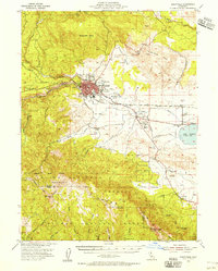
1954 · Susanville
USGS Topo · 1:62,500

1954 · Litchfield
USGS Topo · 1:62,500

1954 · Karlo
USGS Topo · 1:62,500

1954 · Fredonyer Peak
USGS Topo · 1:62,500