
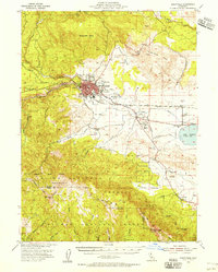
1954 Map of Susanville
USGS Topo · Published 1954About this map
Susanville sits at the foot of the northern Sierra Nevada, serving as a hub for timber and rail activity in the mid-1950s. The Southern Pacific railroad cuts through the heart of the valley, passing near the County Fairgrounds and the Susanville Indian Rancheria. Local history is anchored by Peter Lassens Grave and the Lassen Cem, while educational roots are visible at rural sites like Richmond Sch and Riverside Sch.
Find a feature on this map
42 named features on this map. Tap any name to fly to it.
Don’t see what you’re looking for? This feature index may not catch every label — zoom into the map to look around manually.
Map Details
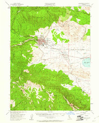
Editions of this 1954 Susanville Map
3 editions found
Other maps of this area

1886 · Honey Lake
USGS Topo · 1:250,000

1891 · Honey Lake
USGS Topo · 1:250,000

1893 · Honey Lake
USGS Topo · 1:250,000

1950 · Kettle Rock
USGS Topo · 1:62,500

1950 · Greenville
USGS Topo · 1:62,500

1950 · Milford
USGS Topo · 1:62,500

1954 · Litchfield
USGS Topo · 1:62,500

1954 · Karlo
USGS Topo · 1:62,500

1954 · Fredonyer Peak
USGS Topo · 1:62,500

1955 · Westwood
USGS Topo · 1:62,500