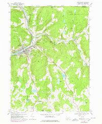
1968 Map of Susquehanna
USGS Topo · Published 1978About this map
The Susquehanna River bends sharply through this northern Pennsylvania landscape, where the Conrail and Delaware and Hudson railroads converge near the industrial and transport hubs of Susquehanna and Lanesboro. This late-1960s perspective, with updates from the mid-1970s, reveals a terrain defined by steep ridges like Taylor Hill and deeply carved valleys. Local infrastructure is well-established, including the Barnes Hosp and Susquehanna Consolidated Sch, serving a community shaped by the railway economy and extensive stone extraction, evidenced by numerous quarries scattered across the hills.
Find a feature on this map
54 named features on this map. Tap any name to fly to it.
Don’t see what you’re looking for? This feature index may not catch every label — zoom into the map to look around manually.
Map Details
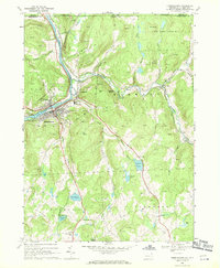
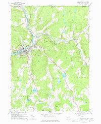
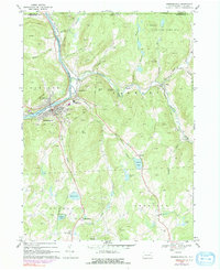
Editions of this 1968 Susquehanna Map
4 editions found
Other maps of this area

1905 · Nineveh
USGS Topo · 1:62,500

1924 · Starrucca
USGS Topo · 1:48,000

1924 · Deposit
USGS Topo · 1:62,500

1926 · Deposit
USGS Topo · 1:62,500

1926 · Starrucca
USGS Topo · 1:62,500

1930 · Starrucca
USGS Topo · 1:48,000

1932 · Susquehanna
USGS Topo · 1:62,500

1933 · Starrucca
USGS Topo · 1:62,500

1935 · Susquehanna
USGS Topo · 1:62,500

1943 · Honesdale
USGS Topo · 1:125,000