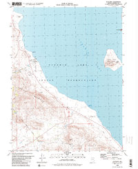
1980 Map of Sutcliffe
USGS Topo · Published 1980About this map
Pyramid Lake dominates this 1980 survey, where the waters of the Pyramid Lake Indian Reservation meet the dramatic slopes of the Virginia Mountains and the Pah Rah Range. The settlement of Sutcliffe serves as a primary point of interest along the western shore, featuring a landing strip and several water tanks. To the east, the distinct form of The Pyramid rises from the water near the shoreline, while Anaho Island is protected as the Anaho Island National Wildlife Refuge, noted for landmarks like Mushroom Rock.
Find a feature on this map
26 named features on this map. Tap any name to fly to it.
Don’t see what you’re looking for? This feature index may not catch every label — zoom into the map to look around manually.
Map Details
Editions of this 1980 Sutcliffe Map
2 editions found
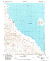
Other maps of this area

1886 · Granite Range
USGS Topo · 1:250,000

1890 · Wadsworth
USGS Topo · 1:125,000

1891 · Reno
USGS Topo · 1:125,000

1892 · Wadsworth
USGS Topo · 1:125,000

1893 · Reno
USGS Topo · 1:125,000

1894 · Granite Range
USGS Topo · 1:250,000

1894 · Wadsworth
USGS Topo · 1:125,000

1955 · Lovelock
USGS Topo · 1:250,000

1957 · Sutcliffe
USGS Topo · 1:62,500

1957 · Nixon
USGS Topo · 1:62,500