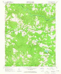
1963 Map of Sutherland
USGS Topo · Published 1965About this map
The Appomattox River carves the northern border of this landscape, separating Dinwiddie and Chesterfield counties. Just south of the water, the Norfolk and Western RR facilitates the growth of rural communities like Sutherland and Jack. This mid-century survey captures a mix of established agricultural life and modern infrastructure, including the Petersburg Municipal Airport and the expansive Fort Lee Recreation Area surrounding Jordon Lake. Numerous small family cemeteries, such as Wyatt Cem and Olgers Cem, are scattered across the terrain near Hatcher Run and Gravelly Run, providing valuable data for genealogists tracing local lineages. The presence of the Seaboard Air Line RR through Burgess further emphasizes the importance of rail transit in connecting these wooded uplands to the larger Virginia economy.
Find a feature on this map
41 named features on this map. Tap any name to fly to it.
Don’t see what you’re looking for? This feature index may not catch every label — zoom into the map to look around manually.
Map Details
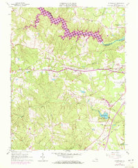
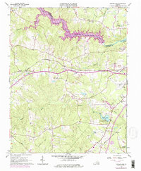
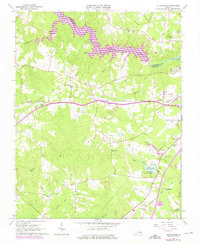
Editions of this 1963 Sutherland Map
4 editions found
Other maps of this area

1894 · Bermuda Hundred
USGS Topo · 1:62,500

1894 · Petersburg
USGS Topo · 1:62,500

1897 · Amelia
USGS Topo · 1:125,000

1943 · De Witt
USGS Topo · 1:24,000

1943 · Dinwiddie
USGS Topo · 1:24,000

1943 · Beach
USGS Topo · 1:24,000

1943 · Church Road
USGS Topo · 1:24,000

1943 · Winterpock
USGS Topo · 1:24,000

1943 · Sutherland
USGS Topo · 1:24,000

1943 · Richmond
USGS Topo · 1:250,000