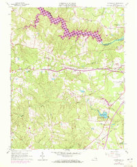
1963 Map of Sutherland
USGS Topo · Published 1972About this map
Sutherland and the Norfolk and Western railway corridor define the central geography of this Dinwiddie County landscape during the early 1960s. The northern border is dominated by the sprawling Lake Chesdin and the Appomattox River, which separate Dinwiddie from Chesterfield County. This survey reveals a transition from the industrial and transit-heavy east, near the Petersburg Municipal Airport and Seaboard Coast Line tracks, to the rural west and south.
Find a feature on this map
65 named features on this map. Tap any name to fly to it.
Don’t see what you’re looking for? This feature index may not catch every label — zoom into the map to look around manually.
Map Details
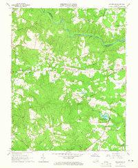
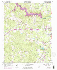
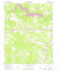
Editions of this 1963 Sutherland Map
4 editions found
Other maps of this area

1894 · Bermuda Hundred
USGS Topo · 1:62,500

1894 · Petersburg
USGS Topo · 1:62,500

1897 · Amelia
USGS Topo · 1:125,000

1943 · De Witt
USGS Topo · 1:24,000

1943 · Dinwiddie
USGS Topo · 1:24,000

1943 · Beach
USGS Topo · 1:24,000

1943 · Church Road
USGS Topo · 1:24,000

1943 · Winterpock
USGS Topo · 1:24,000

1943 · Sutherland
USGS Topo · 1:24,000

1943 · Richmond
USGS Topo · 1:250,000