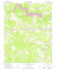
1963 Map of Sutherland
USGS Topo · Published 1975About this map
The Appomattox River and the newly created Lake Chesdin define the northern border of this central Virginia landscape. These waters separate Dinwiddie Co from Chesterfield Co, illustrating the mid-20th-century transition as rural creek valleys like Mirey Run and Whipponock Creek were partially submerged. The southern half of the map reflects a different character, shaped by the intersections of the Norfolk and Western Railway and the Seaboard Coast Line. Key inland settlements such as Sutherland and Burgess are documented alongside local landmarks like the Fort Lee Recreation Area and Petersburg Municipal Airport. Genealogists will find a wealth of family history in cemetery sites such as Olgers Cem and Dabney Cem, while the industrial landscape is noted by several quarries near Addison.
Find a feature on this map
43 named features on this map. Tap any name to fly to it.
Don’t see what you’re looking for? This feature index may not catch every label — zoom into the map to look around manually.
Map Details
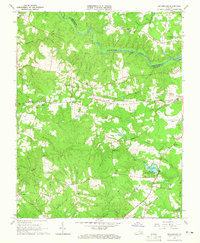
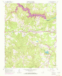
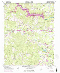
Editions of this 1963 Sutherland Map
4 editions found
Other maps of this area

1894 · Bermuda Hundred
USGS Topo · 1:62,500

1894 · Petersburg
USGS Topo · 1:62,500

1897 · Amelia
USGS Topo · 1:125,000

1943 · De Witt
USGS Topo · 1:24,000

1943 · Dinwiddie
USGS Topo · 1:24,000

1943 · Beach
USGS Topo · 1:24,000

1943 · Church Road
USGS Topo · 1:24,000

1943 · Winterpock
USGS Topo · 1:24,000

1943 · Sutherland
USGS Topo · 1:24,000

1943 · Richmond
USGS Topo · 1:250,000