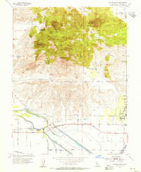
1954 Map of Sutter Buttes
USGS Topo · Published 1955About this map
Sutter Buttes rise dramatically above the Sacramento Valley floor in this mid-century topographical study, revealing a complex landscape of volcanic peaks and agricultural lowlands. The central massif is defined by prominent landmarks such as North Butte, South Butte, and Old Craggy, with Peace Valley providing a level interior amongst the heights. To the south and west, the terrain transitions sharply into the reclaimed lands of the Sutter Bypass and Sutter Slough. The rural economy of the 1950s is evident in the network of Gas Well sites and the small community of Sutter, where a street grid of Acacia Ave and Perry St marks the town center. Transportation is anchored by the Sacramento Northern rail line and local hubs like Tarke and Lira. Genealogists and local historians can locate smaller landmarks including the Stohlman Cemetery and Slough School, which served the outlying farmstead families of the era.
Find a feature on this map
45 named features on this map. Tap any name to fly to it.
Don’t see what you’re looking for? This feature index may not catch every label — zoom into the map to look around manually.
Map Details
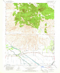
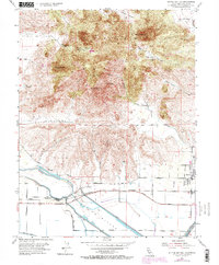
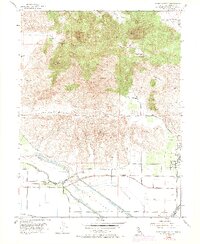
Editions of this 1954 Sutter Buttes Map
4 editions found
Other maps of this area

1888 · Marysville
USGS Topo · 1:125,000

1891 · Marysville
USGS Topo · 1:125,000

1894 · Marysville
USGS Topo · 1:125,000

1895 · Marysville
USGS Topo · 1:125,000

1911 · Sutter
USGS Topo · 1:31,680

1911 · Sanborn Slough
USGS Topo · 1:31,680

1911 · Grimes
USGS Topo · 1:31,680

1911 · Gilsizer Slough
USGS Topo · 1:31,680

1912 · Marysville Buttes
USGS Topo · 1:31,680

1912 · Pennington
USGS Topo · 1:31,680