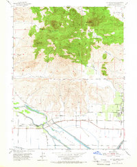
1954 Map of Sutter Buttes
USGS Topo · Published 1966About this map
Sutter Bypass and the West Butte Slough define the low-lying agricultural landscape south of the volcanic rise of the Sutter Buttes. This mid-century survey reveals an economy centered on gas extraction and irrigation, evidenced by numerous Gas Wells and the Wadsworth Canal. The community of Sutter serves as the primary hub, where local streets like Acacia Ave and Perry St meet the Sacramento Northern railroad line. Local history is anchored by the Stohlman Cem and the Slough Sch near the crossroads of Tarke. The dramatic topography of the volcanic peaks, including North Butte, West Butte, and Old Craggy, provides a stark contrast to the gridded farmland and drainage works that surround them.
Find a feature on this map
43 named features on this map. Tap any name to fly to it.
Don’t see what you’re looking for? This feature index may not catch every label — zoom into the map to look around manually.
Map Details
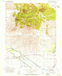
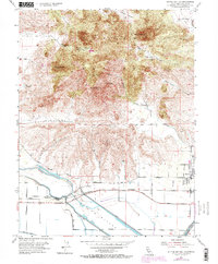
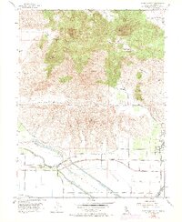
Editions of this 1954 Sutter Buttes Map
4 editions found
Other maps of this area

1888 · Marysville
USGS Topo · 1:125,000

1891 · Marysville
USGS Topo · 1:125,000

1894 · Marysville
USGS Topo · 1:125,000

1895 · Marysville
USGS Topo · 1:125,000

1911 · Sutter
USGS Topo · 1:31,680

1911 · Sanborn Slough
USGS Topo · 1:31,680

1911 · Grimes
USGS Topo · 1:31,680

1911 · Gilsizer Slough
USGS Topo · 1:31,680

1912 · Marysville Buttes
USGS Topo · 1:31,680

1912 · Pennington
USGS Topo · 1:31,680