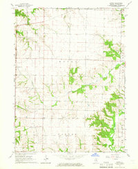
1964 Map of Sutter
USGS Topo · Published 1965About this map
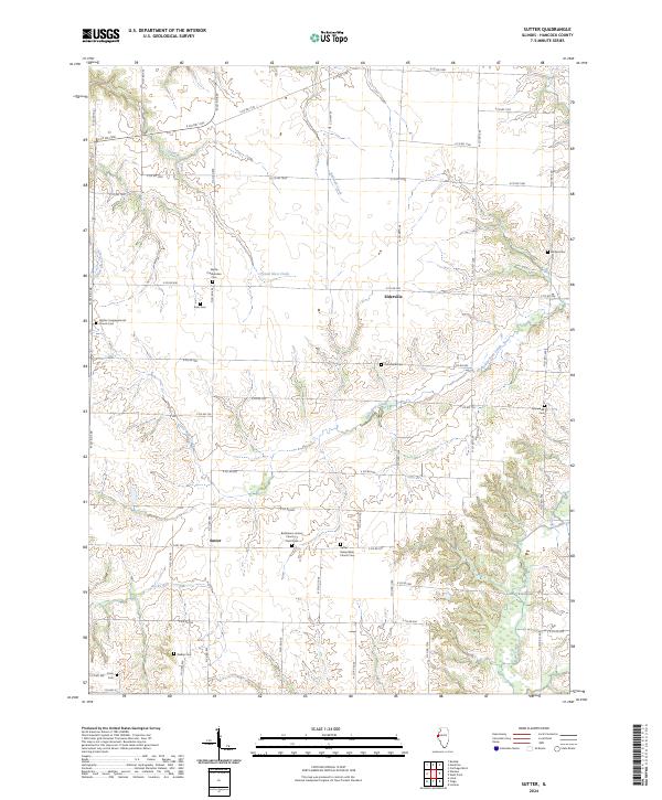
Sutter and Elderville anchor this Hancock County landscape during a period of established mid-century agricultural stability. The map reveals a high density of rural religious and commemorative sites, reflecting the tight-knit community structure of Wythe and Walker townships. Genealogists will find significant value in the distribution of family and denominational burial grounds, including the Wythe Cem, Walker Cem, and the Congregational Cem. The terrain is defined by the dendritic drainage patterns of Bear Creek and its tributaries like Little Bear Creek and Railroad Creek, which carve through the till plains. Small-scale industrial activity is evidenced by Gravel Pits in the northwest, while the presence of Bethlehem Ch and Salem Ch south of Sutter marks the social hubs of the rural population during the early 1960s.
Find a feature on this map
18 named features on this map. Tap any name to fly to it.
Don’t see what you’re looking for? This feature index may not catch every label — zoom into the map to look around manually.
Map Details
Editions of this 1964 Sutter Map
2 editions found
Historical Maps of Sutter Through Time
12 maps found
1964 Burnside
Hancock County, IL
1964 Colusa
Hancock County, IL
1964 Sutter
Hancock County, IL
1974 Carthage East
Hancock County, IL
1974 Carthage West
Hancock County, IL
1974 Fountain Green
Hancock County, IL
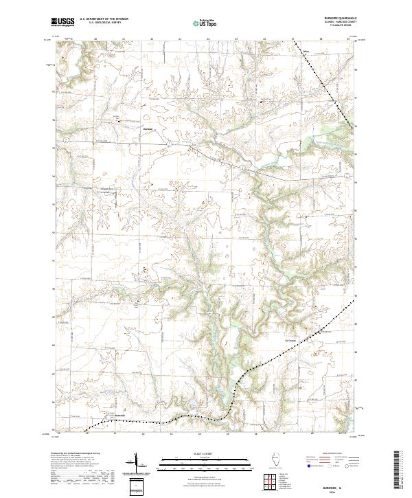
2024 Burnside
Hancock County, IL
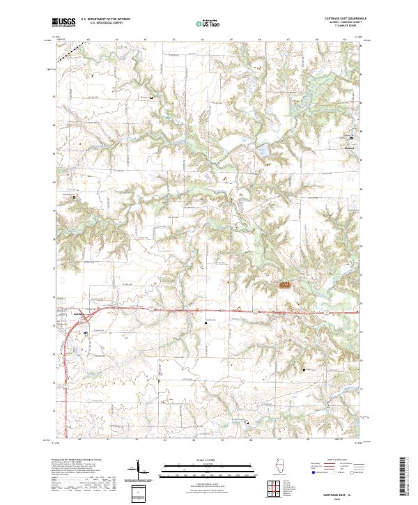
2024 Carthage East
Hancock County, IL
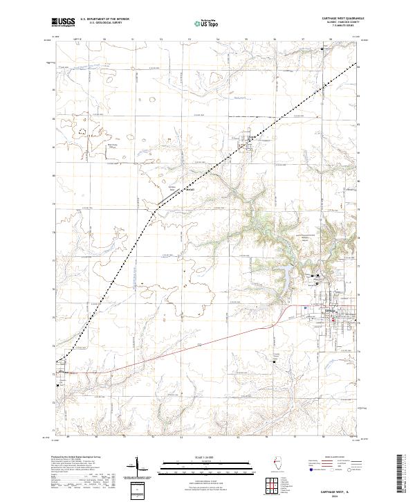
2024 Carthage West
Hancock County, IL
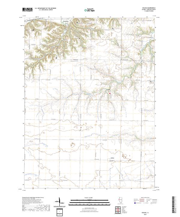
2024 Colusa
Hancock County, IL
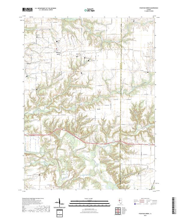
2024 Fountain Green
Hancock County, IL
2024 Sutter
Hancock County, IL