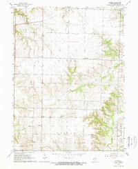
1964 Map of Sutter
USGS Topo · Published 1965About this map
Sutter and Elderville anchor this Hancock County landscape during the mid-1960s, a period where the grid of rural life is clearly defined by section lines and field boundaries. The township divisions of Montebello, Wythe, Walker, and ST Albans organize a terrain deeply etched by the drainage systems of Bear Creek and Little Bear Creek. For family historians, the map is remarkably dense with burial sites including Walker Cem, Wythe Cem, Congregational Cem, McGee Cem, and Grant Cem, many situated near modest country houses of worship like Bethlehem Ch and Salem Ch. The industrial footprint is minimal, represented by small Gravel Pits and a lone Railroad corridor in the northern sections, while Rocky Run and Crystal Creek wind through the remaining uncultivated wooded draws.
Find a feature on this map
19 named features on this map. Tap any name to fly to it.
Don’t see what you’re looking for? This feature index may not catch every label — zoom into the map to look around manually.
Map Details
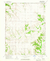
Editions of this 1964 Sutter Map
2 editions found
Other maps of this area

1933 · Carthage
USGS Topo · 1:62,500

1936 · Keokuk
USGS Topo · 1:62,500

1937 · Carthage
USGS Topo · 1:62,500

1946 · Mendon
USGS Topo · 1:62,500

1948 · Mendon
USGS Topo · 1:62,500

1948 · Camp Point
USGS Topo · 1:62,500

1950 · Keokuk
USGS Topo · 1:62,500

1958 · Burlington
USGS Topo · 1:250,000

1961 · Burlington
USGS Topo · 1:250,000

1963 · Burlington
USGS Topo · 1:250,000