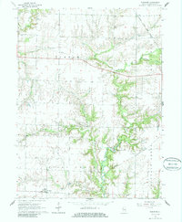
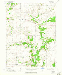
1964 Map of Burnside
USGS Topo · Published 1986About this map
Burnside and the surrounding Hancock County townships anchor this mid-century landscape, where the Toledo Peoria and Western railroad cuts a diagonal path across the southern and eastern sections. The map reveals a rural economy structured around small rail stops and crossroads like La Crosse, Durham, and Disco. The terrain is deeply etched by the winding course of the La Moine River and its numerous tributaries, including Wildcat Creek, Spring Creek, and Camp Creek.
Find a feature on this map
18 named features on this map. Tap any name to fly to it.
Don’t see what you’re looking for? This feature index may not catch every label — zoom into the map to look around manually.
Map Details
Editions of this 1964 Burnside Map
2 editions found
Other maps of this area

1913 · Colchester
USGS Topo · 1:62,500

1918 · La Harpe
USGS Topo · 1:62,500

1932 · Lomax
USGS Topo · 1:62,500

1933 · Carthage
USGS Topo · 1:62,500

1937 · Carthage
USGS Topo · 1:62,500

1937 · Lomax
USGS Topo · 1:62,500

1958 · Burlington
USGS Topo · 1:250,000

1961 · Burlington
USGS Topo · 1:250,000

1963 · Burlington
USGS Topo · 1:250,000

1964 · Lomax
USGS Topo · 1:24,000