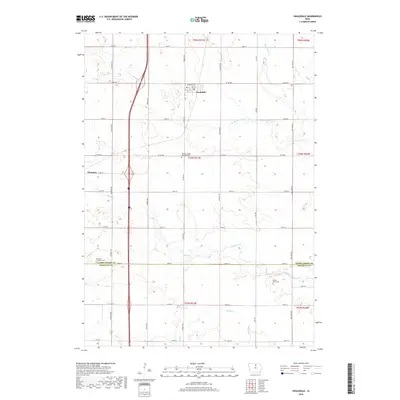
2018 Map of Swaledale
USGS Topo · Published 2018About this map
Swaledale and Thornton anchor this northern Iowa landscape, where the grid of the Public Land Survey System defines the movement of agriculture and commerce. Situated along the boundary between Cerro Gordo and Franklin counties, the area is characterized by the meandering paths of Bailey Creek and Beaverdam Cr, which break the geometric precision of the section lines. Local history is preserved in several small burial grounds, including Pleasant Valley Township Cem and Shobes Grove Cem, which serve as quiet markers of the families who settled this prairie. The terrain is relatively flat, with subtle drainage provided by Otter Cr and W Br Beaverdam Creek. In the western portion of the map, the community of Thornton sits near the intersection of 125th St and Heather Ave, representing a classic example of an Iowa farm town shaped by the surrounding rural sections.
Find a feature on this map
38 named features on this map. Tap any name to fly to it.
Don’t see what you’re looking for? This feature index may not catch every label — zoom into the map to look around manually.
Map Details
Editions of this 2018 Swaledale Map
This is the sole edition of this map. No revisions or reprints were ever made.
Other maps of this area

1954 · Mason City
USGS Topo · 1:250,000

1954 · Waterloo
USGS Topo · 1:250,000

1955 · Waterloo
USGS Topo · 1:250,000

1957 · Mason City
USGS Topo · 1:250,000

1958 · Mason City
USGS Topo · 1:250,000

1959 · Mason City
USGS Topo · 1:62,500

1959 · Hanford
USGS Topo · 1:24,000

1972 · Alexander
USGS Topo · 1:24,000

1972 · Thornton
USGS Topo · 1:24,000

1972 · Swaledale
USGS Topo · 1:24,000