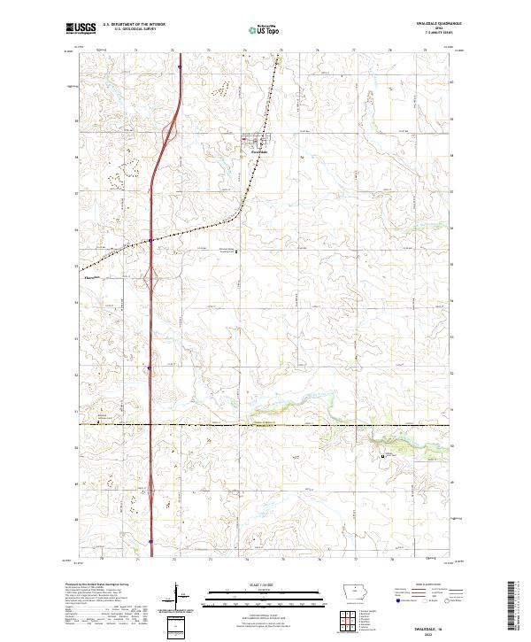
2022 Map of Swaledale
USGS Topo · Published 2022About this map
Swaledale serves as the primary hub in this northern Iowa landscape, where the town grid is centered around Main St and Douglas St E. The region exhibits the transition from traditional rail infrastructure to modern recreational use, most notably with the Railroad R.O.W. Corridor Trl cutting diagonally through the township. This corridor passes near the Pleasant Valley Township Cem, marking a typical Midwestern pattern where burial grounds and small settlements like Thornton were linked by the iron rail.
Find a feature on this map
77 named features on this map. Tap any name to fly to it.
Don’t see what you’re looking for? This feature index may not catch every label — zoom into the map to look around manually.
Map Details
Editions of this 2022 Swaledale Map
This is the sole edition of this map. No revisions or reprints were ever made.
Other maps of this area

1954 · Mason City
USGS Topo · 1:250,000

1954 · Waterloo
USGS Topo · 1:250,000

1955 · Waterloo
USGS Topo · 1:250,000

1957 · Mason City
USGS Topo · 1:250,000

1958 · Mason City
USGS Topo · 1:250,000

1959 · Mason City
USGS Topo · 1:62,500

1959 · Hanford
USGS Topo · 1:24,000

1972 · Alexander
USGS Topo · 1:24,000

1972 · Thornton
USGS Topo · 1:24,000

1972 · Swaledale
USGS Topo · 1:24,000