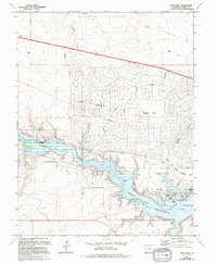
1963 Map of Swallows
USGS Topo · Published 1994About this map
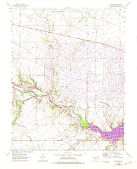
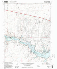
The Arkansas River corridor west of Pueblo is defined here by the transition from ranching lands to large-scale water management and planned suburban development. At the heart of the sheet lies the Pueblo Reservoir, which submerged the area near the former community of Swallows. This inundation is marked by the presence of the Swallows Cem situated on higher ground overlooking the water. North of the reservoir, the emergence of Pueblo West shows a sprawling network of planned roads such as McCulloch Boulevard, while the surrounding terrain is etched with an Old Railroad Grade and numerous water features like Turkey Creek. The landscape serves as a significant recreational and conservation zone, containing both the Pueblo State Park and the Pueblo State Wildlife Area, where the river's flow is heavily managed via a complex system of dams, spillways, and an Aqueduct.
Find a feature on this map
32 named features on this map. Tap any name to fly to it.
Don’t see what you’re looking for? This feature index may not catch every label — zoom into the map to look around manually.
Map Details
Editions of this 1963 Swallows Map
6 editions found
Other maps of this area

1891 · Pueblo
USGS Topo · 1:125,000

1894 · Pueblo
USGS Topo · 1:125,000

1896 · Pueblo
USGS Topo · 1:125,000

1897 · Pueblo
USGS Topo · 1:125,000

1954 · Pueblo
USGS Topo · 1:250,000

1957 · Pueblo
USGS Topo · 1:250,000

1958 · Pueblo
USGS Topo · 1:250,000
1961 · Steele Hollow
USGS Topo · 1:24,000

1961 · Northwest Pueblo
USGS Topo · 1:24,000

1961 · Southwest Pueblo
USGS Topo · 1:24,000