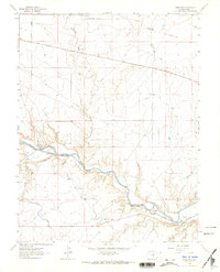
1963 Map of Swallows
USGS Topo · Published 1965About this map
The Arkansas River serves as the central artery of this Colorado landscape, illustrating the critical role of water management in the high plains. The presence of the Arkansas Valley Conduit and the Teller Ditch reveals a sophisticated network of irrigation and water transport essential for the region's development. Near the riverbanks, the settlement of Swallows and the rail stop at Livesey mark the human footprint during the early 1960s.
Find a feature on this map
14 named features on this map. Tap any name to fly to it.
Don’t see what you’re looking for? This feature index may not catch every label — zoom into the map to look around manually.
Map Details
Editions of this 1963 Swallows Map
6 editions found
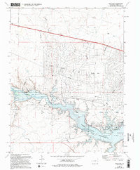
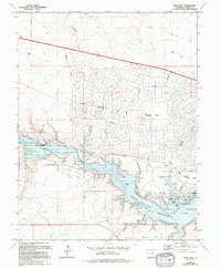
Other maps of this area

1891 · Pueblo
USGS Topo · 1:125,000

1894 · Pueblo
USGS Topo · 1:125,000

1896 · Pueblo
USGS Topo · 1:125,000

1897 · Pueblo
USGS Topo · 1:125,000

1954 · Pueblo
USGS Topo · 1:250,000

1957 · Pueblo
USGS Topo · 1:250,000

1958 · Pueblo
USGS Topo · 1:250,000
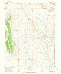
1961 · Steele Hollow
USGS Topo · 1:24,000

1961 · Northwest Pueblo
USGS Topo · 1:24,000

1961 · Southwest Pueblo
USGS Topo · 1:24,000