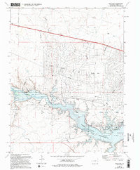
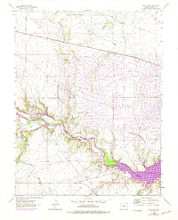
1963 Map of Swallows
USGS Topo · Published 1994About this map
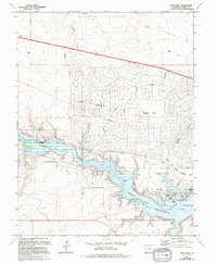
The Arkansas River serves as the focal point of this landscape, carving through the central valley and filling the expansive Pueblo Reservoir State Park. To the north, the planned expansion of Pueblo West is visible through its emerging grid of streets like McCulloch Boulevard and Cabrizo Avenue, contrasting with the older, more rural character of the river valley. Evidence of the area's earlier history remains at the Swallows (Site) and the nearby Swallows Cem, marking a community displaced by the reservoir's development.
Find a feature on this map
33 named features on this map. Tap any name to fly to it.
Don’t see what you’re looking for? This feature index may not catch every label — zoom into the map to look around manually.
Map Details
Editions of this 1963 Swallows Map
6 editions found
Other maps of this area

1891 · Pueblo
USGS Topo · 1:125,000

1894 · Pueblo
USGS Topo · 1:125,000

1896 · Pueblo
USGS Topo · 1:125,000

1897 · Pueblo
USGS Topo · 1:125,000

1954 · Pueblo
USGS Topo · 1:250,000

1957 · Pueblo
USGS Topo · 1:250,000

1958 · Pueblo
USGS Topo · 1:250,000
1961 · Steele Hollow
USGS Topo · 1:24,000

1961 · Northwest Pueblo
USGS Topo · 1:24,000

1961 · Southwest Pueblo
USGS Topo · 1:24,000