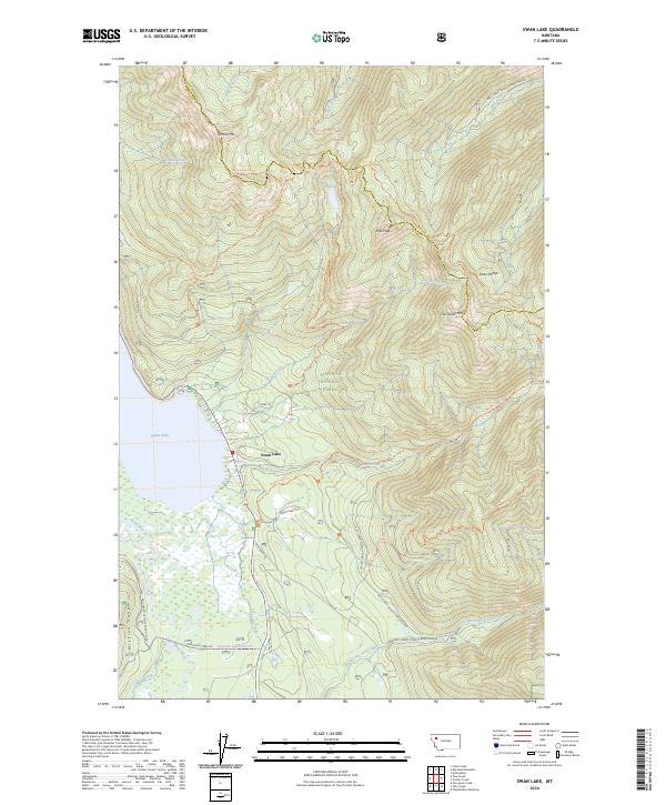
2024 Map of Swan Lake
USGS Topo · Published 2024About this map
Swan Lake serves as the focal point of this landscape, where the waters of the Swan River flow through a valley floor hemmed in by the towering Swan Range to the east and the Mission Range to the west. The settlement of Swan Lake sits at the northern tip of the lake, marking a point of human activity within the expansive Flathead National Forest. To the south, the Swan River National Wildlife Refuge preserves the riparian wetlands and marshes where the river enters the lake, a distinct contrast to the steep forested slopes nearby.
Find a feature on this map
42 named features on this map. Tap any name to fly to it.
Don’t see what you’re looking for? This feature index may not catch every label — zoom into the map to look around manually.
Map Details
Editions of this 2024 Swan Lake Map
This is the sole edition of this map. No revisions or reprints were ever made.
Other maps of this area

1914 · Nyack
USGS Topo · 1:125,000

1955 · Choteau
USGS Topo · 1:250,000

1957 · Choteau
USGS Topo · 1:250,000

1958 · Choteau
USGS Topo · 1:250,000

1958 · Quintonkon
USGS Topo · 1:24,000

1960 · Cut Bank
USGS Topo · 1:250,000

1962 · Choteau
USGS Topo · 1:250,000

1963 · Cut Bank
USGS Topo · 1:250,000

1964 · Cut Bank
USGS Topo · 1:250,000
1964 · Crater Lake
USGS Topo · 1:24,000