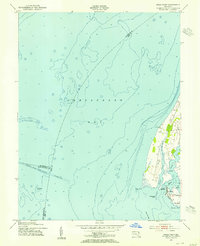
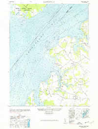
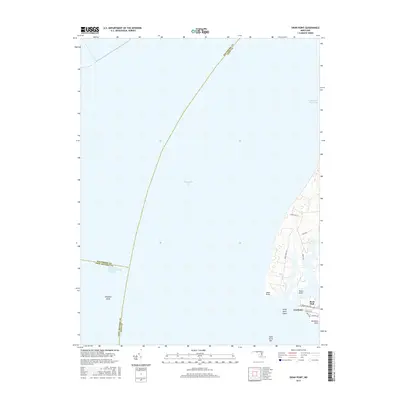
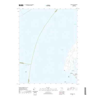
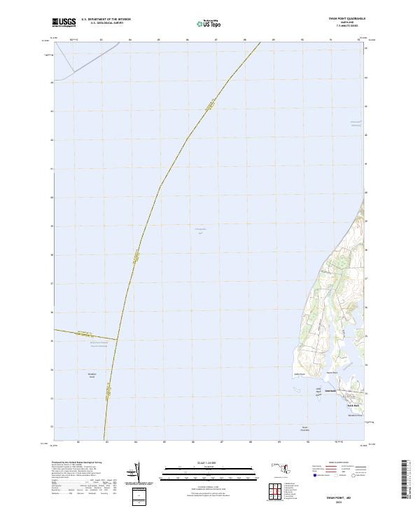
1953 Map of Swan Point
USGS Topo · Published 1955About this map
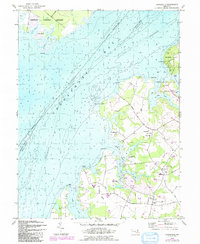
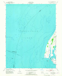
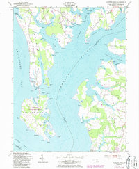
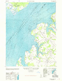
Swan Point and the coastal settlements of Kent County dominate this mid-century survey of the Eastern Shore. The map illustrates a maritime landscape where the waters of the Chesapeake Bay meet intricate tidal inlets like Tavern Creek and Swan Creek. Small landings and local communities such as Gratitude, Deep Landing, and Rock Hall are shown in detail, reflecting the area's historical reliance on the bay for commerce and transport.
Find a feature on this map
24 named features on this map. Tap any name to fly to it.
Don’t see what you’re looking for? This feature index may not catch every label — zoom into the map to look around manually.
Map Details
Editions of this 1953 Swan Point Map
2 editions found
Historical Maps of Rock Hall Through Time
23 maps found
1942 Swan Point
Kent County, MD
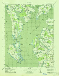
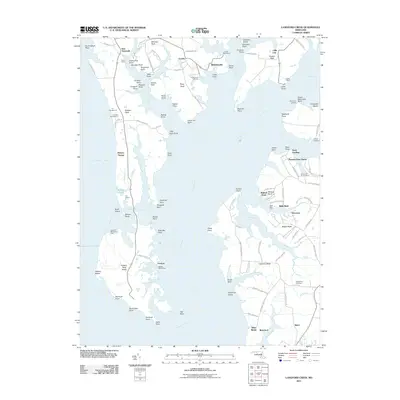
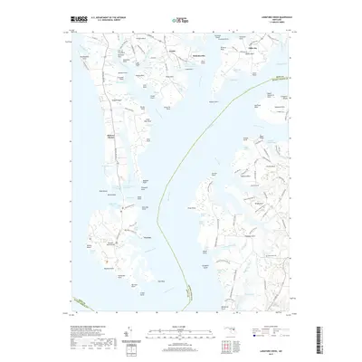
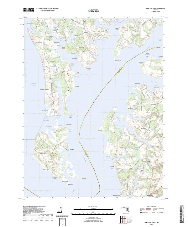
1943 Langford Creek
Kent County, MD
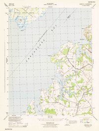
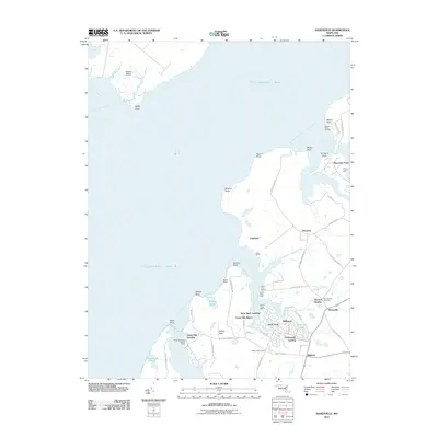
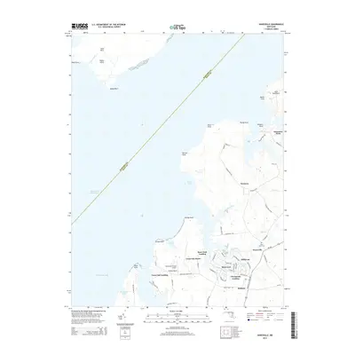
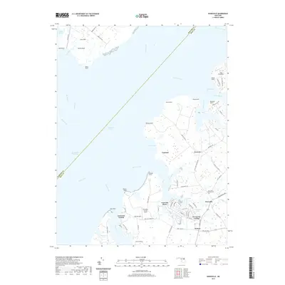
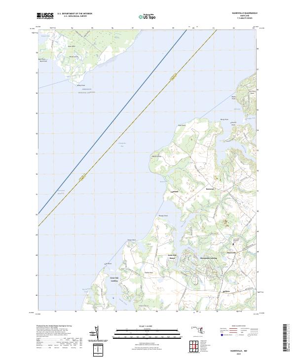
1944 Hanesville
Kent County, MD
1948 Hanesville
Kent County, MD
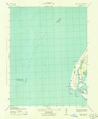
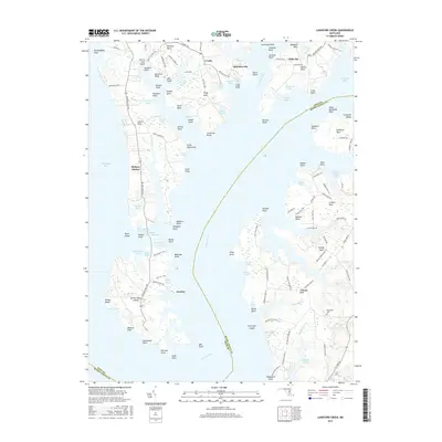
1953 Swan Point
Kent County, MD
1954 Langford Creek
Kent County, MD
1969 Hanesville
Kent County, MD
1977 Hanesville
Kent County, MD
2011 Hanesville
Kent County, MD
2011 Langford Creek
Kent County, MD
2011 Swan Point
Kent County, MD
2014 Hanesville
Kent County, MD
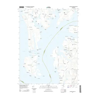
2014 Langford Creek
Kent County, MD
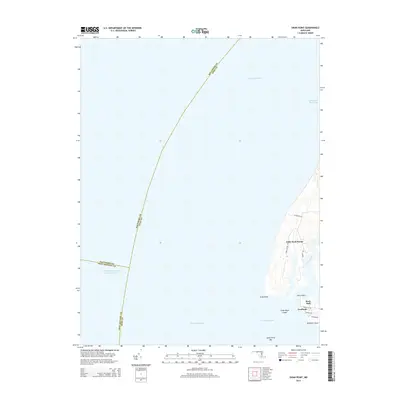
2014 Swan Point
Kent County, MD
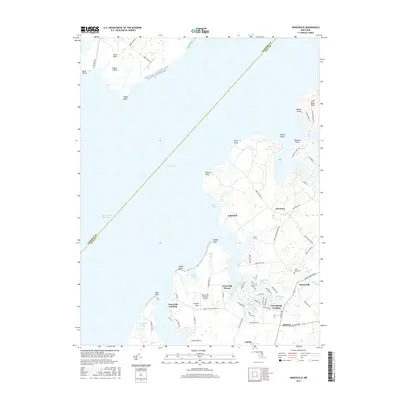
2016 Hanesville
Kent County, MD
2016 Langford Creek
Kent County, MD
2016 Swan Point
Kent County, MD
2019 Hanesville
Kent County, MD
2019 Langford Creek
Kent County, MD
2019 Swan Point
Kent County, MD
2023 Hanesville
Kent County, MD
2023 Langford Creek
Kent County, MD
2023 Swan Point
Kent County, MD
Featured Locations
- Anne Arundel County, MD
- Little Neck Farms, MD
- Rock Hall, MD
- Deep Landing, Rock Hall
- Gratitude, Rock Hall