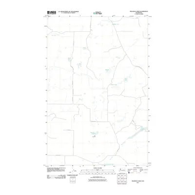
2011 Map of Swanson Lakes
USGS Topo · Published 2011About this map
Lake Creek flows through the southern section of this landscape, a prominent watercourse that connects Twin Lakes and Coffeepot Lake. The terrain is defined by a dense concentration of pothole lakes and wetlands characteristic of the Channeled Scablands, including Swanson Lakes, Meadow Lake, and Wall Lake. The drainage pattern suggests a complex hydrological system where seasonal or permanent water bodies are scattered across a high plateau.
Find a feature on this map
20 named features on this map. Tap any name to fly to it.
Don’t see what you’re looking for? This feature index may not catch every label — zoom into the map to look around manually.
Map Details
Editions of this 2011 Swanson Lakes Map
This is the sole edition of this map. No revisions or reprints were ever made.
Other maps of this area

1953 · Ritzville
USGS Topo · 1:250,000

1959 · Ritzville
USGS Topo · 1:250,000

1965 · Ritzville
USGS Topo · 1:250,000

1968 · Coffeepot Lake
USGS Topo · 1:24,000

1968 · Pacific Lake
USGS Topo · 1:24,000

1969 · Rocklyn SW
USGS Topo · 1:24,000

1969 · Cormana Lake
USGS Topo · 1:24,000

1969 · Telford
USGS Topo · 1:24,000

1969 · Creston Butte
USGS Topo · 1:24,000

1969 · Wagner Lake
USGS Topo · 1:24,000