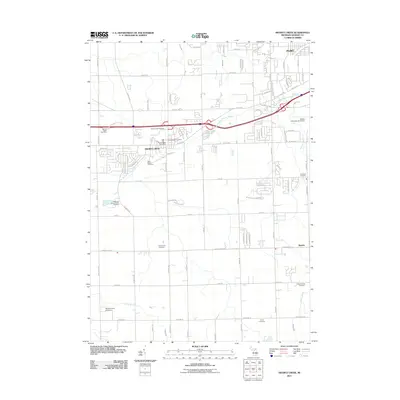
2011 Map of Swartz Creek
USGS Topo · Published 2011About this map
The suburban and rural interface of southwestern Flint is defined by the heavy presence of the West Branch Swartz Creek and the arterial infrastructure of the early 21st century. The landscape is a study in transition, where the established community of Swartz Creek and the settlement of Rankin sit alongside major transit hubs like Bishop International Airport and the Sports Creek Raceway. For genealogists, the map is remarkably dense with burial sites, preserving the locations of the Chippewa Nation Indian Cemetery, the Dart Family Cemetery, and Saint Marys Cemetery. Small waterways including Cole Creek, Mud Creek, and Porter Drain lace the region, illustrating the complex drainage patterns of this corner of Genesee County during a period of sustained residential and commercial development.
Find a feature on this map
81 named features on this map. Tap any name to fly to it.
Don’t see what you’re looking for? This feature index may not catch every label — zoom into the map to look around manually.
Map Details
Editions of this 2011 Swartz Creek Map
This is the sole edition of this map. No revisions or reprints were ever made.
Other maps of this area

1919 · Burt
USGS Topo · 1:62,500

1920 · Flint
USGS Topo · 1:62,500

1920 · Holly
USGS Topo · 1:62,500

1921 · Burt
USGS Topo · 1:62,500

1922 · Holly
USGS Topo · 1:62,500

1922 · Durand
USGS Topo · 1:62,500

1922 · Flint
USGS Topo · 1:62,500

1943 · Holly
USGS Topo · 1:62,500

1943 · Burt
USGS Topo · 1:62,500

1943 · Durand
USGS Topo · 1:62,500