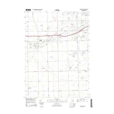
2014 Map of Swartz Creek
USGS Topo · Published 2014About this map
Swartz Creek and the western edge of Flint are defined by a complex drainage network and early 21st-century suburban growth. This landscape is characterized by the W Br Swartz Cr and numerous man-made channels like Kimball Drain, Porter Drain, and Slocum Drain, illustrating a long history of water management to support both agriculture and expanding residential tracts. Transportation infrastructure is central to the area's layout, anchored by the Swartz Creek Station and the sprawling Bishop International Airport. Genealogists will find several burial grounds across the township, ranging from the Dart Family Cem to the Saint Marys Cem. Small communities like Rankin and landmarks such as the Barnstormers Five Airport provide focal points for local history within the grid of sections like t7n r5e.
Find a feature on this map
45 named features on this map. Tap any name to fly to it.
Don’t see what you’re looking for? This feature index may not catch every label — zoom into the map to look around manually.
Map Details
Editions of this 2014 Swartz Creek Map
This is the sole edition of this map. No revisions or reprints were ever made.
Other maps of this area

1919 · Burt
USGS Topo · 1:62,500

1920 · Flint
USGS Topo · 1:62,500

1920 · Holly
USGS Topo · 1:62,500

1921 · Burt
USGS Topo · 1:62,500

1922 · Holly
USGS Topo · 1:62,500

1922 · Durand
USGS Topo · 1:62,500

1922 · Flint
USGS Topo · 1:62,500

1943 · Holly
USGS Topo · 1:62,500

1943 · Burt
USGS Topo · 1:62,500

1943 · Durand
USGS Topo · 1:62,500