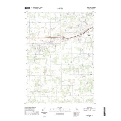
2023 Map of Swartz Creek
USGS Topo · Published 2023About this map
Swartz Creek serves as the focal point for this Genesee County landscape, where suburban expansion from nearby Flint meets the managed drainage systems of the Michigan interior. The map reveals a complex hydrologic network, including the West Branch Swartz Creek and numerous man-made channels like Kimball Drain and Porter Drain, which historically allowed for the development of these flatlands. Genealogists will find significant value in the distribution of burial sites, ranging from the Chippewa Nation Indian Cem to the Dart Family Cem and Saint Marys Cem. Transportation infrastructure is a dominant theme, featuring the large-scale Bishop International Airport and the smaller Barnstormers 5 Airport, while the settlement of Rankin sits at a traditional crossroads in the southeast. This layout reflects the area's transition from a water-managed agricultural zone to a modern residential and transit corridor.
Find a feature on this map
131 named features on this map. Tap any name to fly to it.
Don’t see what you’re looking for? This feature index may not catch every label — zoom into the map to look around manually.
Map Details
Editions of this 2023 Swartz Creek Map
This is the sole edition of this map. No revisions or reprints were ever made.
Other maps of this area

1919 · Burt
USGS Topo · 1:62,500

1920 · Flint
USGS Topo · 1:62,500

1920 · Holly
USGS Topo · 1:62,500

1921 · Burt
USGS Topo · 1:62,500

1922 · Holly
USGS Topo · 1:62,500

1922 · Durand
USGS Topo · 1:62,500

1922 · Flint
USGS Topo · 1:62,500

1943 · Holly
USGS Topo · 1:62,500

1943 · Burt
USGS Topo · 1:62,500

1943 · Durand
USGS Topo · 1:62,500