
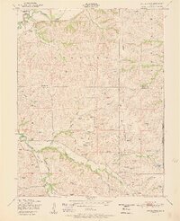
1951 Map of Swede Creek
USGS Topo · Published 1951About this map
McDowell Creek and its many meandering tributaries define this mid-century landscape where Riley, Geary, and Wabaunsee counties meet. The area is characterized by a dense network of upland drainage basins, including Swede Creek, Deadman Creek, and the West McDowell and East McDowell branches. This 1951 edition reflects a rural Kansas community organized around localized landmarks, where the Ashland School and Briggs School served as focal points for the surrounding farmsteads.
Find a feature on this map
22 named features on this map. Tap any name to fly to it.
Don’t see what you’re looking for? This feature index may not catch every label — zoom into the map to look around manually.
Map Details
Editions of this 1951 Swede Creek Map
2 editions found
Other maps of this area

1885 · Eskridge
USGS Topo · 1:125,000

1886 · Junction City
USGS Topo · 1:125,000

1889 · Wamego
USGS Topo · 1:125,000

1889 · Junction City
USGS Topo · 1:125,000

1889 · Parkerville
USGS Topo · 1:125,000

1889 · Eskridge
USGS Topo · 1:125,000

1894 · Eskridge
USGS Topo · 1:125,000

1894 · Junction City
USGS Topo · 1:125,000

1894 · Parkerville
USGS Topo · 1:125,000

1894 · Wamego
USGS Topo · 1:125,000