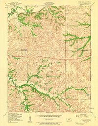
1955 Map of Swede Creek
USGS Topo · Published 1958About this map
The branching drainage of McDowell Creek and its many tributaries, including Swede Branch and Deadman Creek, dominates the landscape of the Flint Hills region during the mid-1950s. This survey records a traditional agrarian infrastructure of one-room schools and rural burial grounds before the expansion of modern utilities, though a prominent Pipeline and a Power station indicate the early post-war modernization of the Kansas interior. The map captures the meeting of three counties—Riley, Geary, and Wabaunsee—providing a detailed look at the local landmarks that anchored these townships, such as Briggs School, Cleveland School, and School No 4. Local genealogy is well-supported by the inclusion of Ashland Cem and Briggs Cem, which served the scattered farmsteads found throughout the valleys of East McDowell Creek and the surrounding uplands.
Find a feature on this map
23 named features on this map. Tap any name to fly to it.
Don’t see what you’re looking for? This feature index may not catch every label — zoom into the map to look around manually.
Map Details
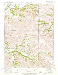
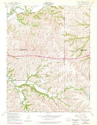
Editions of this 1955 Swede Creek Map
3 editions found
Other maps of this area

1885 · Eskridge
USGS Topo · 1:125,000

1886 · Junction City
USGS Topo · 1:125,000

1889 · Wamego
USGS Topo · 1:125,000

1889 · Junction City
USGS Topo · 1:125,000

1889 · Parkerville
USGS Topo · 1:125,000

1889 · Eskridge
USGS Topo · 1:125,000

1894 · Eskridge
USGS Topo · 1:125,000

1894 · Junction City
USGS Topo · 1:125,000

1894 · Parkerville
USGS Topo · 1:125,000

1894 · Wamego
USGS Topo · 1:125,000