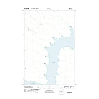
2011 Map of Swede Ridge
USGS Topo · Published 2011About this map
Fort Peck Lake dominates this landscape in Valley County, where the Missouri River's impoundment creates a complex, branching shoreline. The terrain is characterized by a series of high ridges and deep drainages, or coulees, that draw toward the water. Significant landforms like Swede Ridge and Blue Ridge rise above the surrounding breaks, while Iron Stake Ridge sits further south along the western shore.
Find a feature on this map
12 named features on this map. Tap any name to fly to it.
Don’t see what you’re looking for? This feature index may not catch every label — zoom into the map to look around manually.
Map Details
Editions of this 2011 Swede Ridge Map
This is the sole edition of this map. No revisions or reprints were ever made.
Other maps of this area

1954 · Jordan
USGS Topo · 1:250,000

1956 · Jordan
USGS Topo · 1:250,000

1958 · Jordan
USGS Topo · 1:250,000

1964 · Jordan
USGS Topo · 1:250,000

1965 · Coal Mine Hill
USGS Topo · 1:24,000

1965 · Pine Grove School
USGS Topo · 1:24,000

1965 · Schuyler Butte
USGS Topo · 1:24,000

1971 · Wolfe Coulee
USGS Topo · 1:24,000

1971 · Sawmill Creek
USGS Topo · 1:24,000

1971 · Chalk Butte
USGS Topo · 1:24,000