2024 Map of Sweet Water
USGS Topo · Published 2024About this map
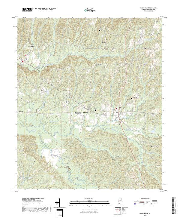
Sweet Water and the surrounding Marengo County countryside appear in this contemporary survey, where small rural settlements are linked by a complex network of county roads and creek crossings. The area around Dixons Mills and the community of Marengo are central to this landscape, defined by a series of family-named cemeteries and country churches that anchor the local geography. Significant genealogical landmarks include Paynes Chapel Methodist Cem, the Shiloh Primitive Baptist Church Cem, and the Shiloh Baptist Church, reflecting the area's long-standing community centers.
Find a feature on this map
90 named features on this map. Tap any name to fly to it.
Don’t see what you’re looking for? This feature index may not catch every label — zoom into the map to look around manually.
Map Details
Editions of this 2024 Sweet Water Map
This is the sole edition of this map. No revisions or reprints were ever made.