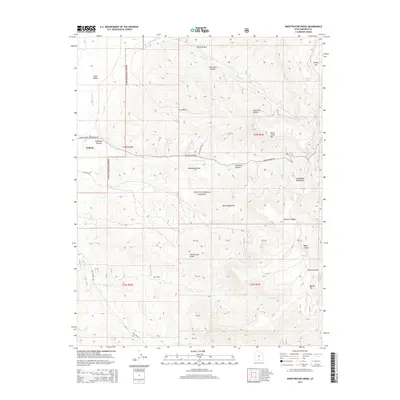
2014 Map of Sweetwater Creek
USGS Topo · Published 2014About this map
Widtsoe stands as a focal point in this high-plateau landscape of Garfield County, situated on the edge of Johns Valley. The terrain is defined by dramatic elevation changes, rising from the valley floor up to the prominent heights of Griffin Top and Barney Top. Much of the area is protected within the Dixie National Forest, where deep incisions like Escalante Canyon and Spencer Canyon carve through the Escalante Mountains.
Find a feature on this map
31 named features on this map. Tap any name to fly to it.
Don’t see what you’re looking for? This feature index may not catch every label — zoom into the map to look around manually.
Map Details
Editions of this 2014 Sweetwater Creek Map
This is the sole edition of this map. No revisions or reprints were ever made.
Other maps of this area

1886 · Kanab
USGS Topo · 1:250,000

1886 · Escalante
USGS Topo · 1:250,000

1953 · Cedar City
USGS Topo · 1:250,000

1956 · Escalante
USGS Topo · 1:250,000

1958 · Cedar City
USGS Topo · 1:250,000

1960 · Escalante
USGS Topo · 1:250,000

1962 · Cedar City
USGS Topo · 1:250,000

1964 · Griffin Point
USGS Topo · 1:24,000

1964 · Barker Reservoir
USGS Topo · 1:24,000
1964 · Grass Lakes
USGS Topo · 1:24,000