
1893 Map of Sweetwater
USGS Topo · Published 1893About this map
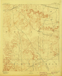
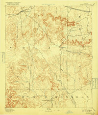
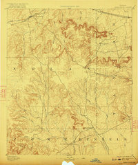
Sweetwater serves as the primary hub at the intersection of the Texas and Pacific Railway and various creek drainages in this late nineteenth-century survey. The landscape is defined by the escarpments and peaks separating the drainages of Sweetwater Creek and Mulberry Creek. To the south, the historical site of Fort Chadbourne sits near the border of Coke and Runnels counties, while small rural clusters like Hylton, Dora, and Nubia mark the early ranching and farming footprint of the Rolling Plains.
Find a feature on this map
35 named features on this map. Tap any name to fly to it.
Don’t see what you’re looking for? This feature index may not catch every label — zoom into the map to look around manually.
Map Details
Editions of this 1893 Sweetwater Map
4 editions found
Other maps of this area

1890 · Abilene
USGS Topo · 1:125,000

1891 · Hayrick
USGS Topo · 1:125,000

1891 · Anson
USGS Topo · 1:125,000

1892 · Abilene
USGS Topo · 1:125,000

1892 · Ballinger
USGS Topo · 1:125,000

1893 · Roby
USGS Topo · 1:125,000

1893 · Anson
USGS Topo · 1:125,000

1894 · Hayrick
USGS Topo · 1:125,000

1921 · Bronte
USGS Topo · 1:31,680

1954 · Brownwood
USGS Topo · 1:250,000