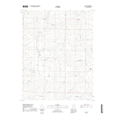
2017 Map of Swiss
USGS Topo · Published 2017About this map
The ridge-and-hollow terrain of Gasconade County defines the character of this 2017 survey, where small communities like Swiss and Stony Hill sit atop high ground. The landscape is deeply incised by a network of drainage systems, including Little Berger Cr, Big Berger Cr, and Clifty Cr. This rural area is characterized by family-named landmarks and a high density of small burial grounds, such as Sanders Cem and Boesch Cem, which often represent the only standing records of early homesteaders in these hills.
Find a feature on this map
58 named features on this map. Tap any name to fly to it.
Don’t see what you’re looking for? This feature index may not catch every label — zoom into the map to look around manually.
Map Details
Editions of this 2017 Swiss Map
This is the sole edition of this map. No revisions or reprints were ever made.
Other maps of this area

1890 · Hermann
USGS Topo · 1:125,000

1890 · Fulton
USGS Topo · 1:125,000

1903 · Sullivan
USGS Topo · 1:125,000

1934 · Bland
USGS Topo · 1:62,500

1935 · Gerald
USGS Topo · 1:48,000

1935 · Morrison
USGS Topo · 1:48,000

1936 · Hermann
USGS Topo · 1:48,000

1937 · Bland
USGS Topo · 1:62,500

1941 · Gerald
USGS Topo · 1:62,500

1942 · Morrison
USGS Topo · 1:62,500