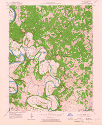
1954 Map of Switzer
USGS Topo · Published 1966About this map
The Kentucky River carves a deep, winding path through the northern reaches of Franklin County, defining a landscape of sharp ridges and narrow bottomlands. In the mid-1950s, this area remained largely rural, characterized by small hilltop settlements and creekside communities. The intricate loops of the river are marked by features like Lecompte Bottom and the sharp turn at O'Nan Bend, while smaller tributaries such as Elkhorn Creek meander through the southern half of the quadrangle. Transportation at this time relied on routes like Mo Donald Ferry Road and the Frankfort and North Elkhorn Road, reflecting an era before modern highway expansion bypassed these river-oriented corridors. Locally significant sites including Tacketts Mill and the U S Fish Cultural Station provide specific touchpoints for local historians, while churches like Bethel Ch and Mt Vernon Ch served as the anchors for upland life on Mount Vernon Ridge.
Find a feature on this map
48 named features on this map. Tap any name to fly to it.
Don’t see what you’re looking for? This feature index may not catch every label — zoom into the map to look around manually.
Map Details
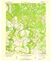
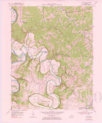
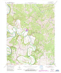
Editions of this 1954 Switzer Map
4 editions found
Other maps of this area

1906 · Lockport
USGS Topo · 1:48,000

1906 · Georgetown
USGS Topo · 1:62,500

1908 · Lockport
USGS Topo · 1:62,500

1908 · Georgetown
USGS Topo · 1:62,500

1922 · Frankfort
USGS Topo · 1:48,000

1924 · Frankfort
USGS Topo · 1:62,500

1939 · Sadieville
USGS Topo · 1:62,500

1952 · Midway
USGS Topo · 1:24,000

1953 · Monterey
USGS Topo · 1:24,000

1953 · Gratz
USGS Topo · 1:24,000