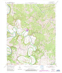
1954 Map of Switzer
USGS Topo · Published 1987About this map
Elkhorn Creek meanders sharply through the heart of this landscape, its deep bends defining the geography of northern Franklin and southern Owen Counties in the mid-1950s. The settlement at Peaks Mill serves as a local focal point near the creek's winding path, while the National Fish Hatchery stands as a significant federal installation along the bank. Higher ground is marked by Mount Vernon Ridge and Union Ridge, which separate the various creek branches that feed into the larger river systems.
Find a feature on this map
41 named features on this map. Tap any name to fly to it.
Don’t see what you’re looking for? This feature index may not catch every label — zoom into the map to look around manually.
Map Details
Editions of this 1954 Switzer Map
4 editions found
Other maps of this area

1906 · Lockport
USGS Topo · 1:48,000

1906 · Georgetown
USGS Topo · 1:62,500

1908 · Lockport
USGS Topo · 1:62,500

1908 · Georgetown
USGS Topo · 1:62,500

1922 · Frankfort
USGS Topo · 1:48,000

1924 · Frankfort
USGS Topo · 1:62,500

1939 · Sadieville
USGS Topo · 1:62,500

1952 · Midway
USGS Topo · 1:24,000

1953 · Monterey
USGS Topo · 1:24,000

1953 · Gratz
USGS Topo · 1:24,000