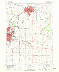
1968 Map of Sycamore
USGS Topo · Published 1970About this map
Sycamore serves as the focal point of this northern Illinois survey, dominated by a dense urban grid that includes the Courthouse and several educational institutions like Central Sch and Southeast Sch. The landscape is defined by the South Branch Kishwaukee River, which winds through the terrain between the growing city centers. To the southwest, De Kalb reveals its industrial and academic footprint, featuring the De Kalb Municipal Airport and St Marys Hosp.
Find a feature on this map
71 named features on this map. Tap any name to fly to it.
Don’t see what you’re looking for? This feature index may not catch every label — zoom into the map to look around manually.
Map Details
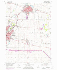
Editions of this 1968 Sycamore Map
2 editions found
Other maps of this area

1918 · Kirkland
USGS Topo · 1:62,500

1934 · De Kalb
USGS Topo · 1:62,500

1937 · De Kalb
USGS Topo · 1:62,500

1937 · Sycamore
USGS Topo · 1:62,500

1938 · Genoa
USGS Topo · 1:62,500

1954 · Rockford
USGS Topo · 1:250,000

1955 · Rockford
USGS Topo · 1:250,000

1958 · Aurora
USGS Topo · 1:250,000

1958 · Rockford
USGS Topo · 1:250,000

1961 · Aurora
USGS Topo · 1:250,000