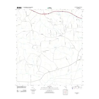
2012 Map of Sycamore
USGS Topo · Published 2012About this map
The unincorporated community of Sycamore and the settlement of Juniper anchor this detailed study of the Gadsden County interior during the early 2010s. The landscape is defined by a dense network of creek branches and familial homesteads, evidenced by numerous named roads like Brooks Smith Farm Rd and James H Shepard Rd. For those researching local family history, several burial grounds are precisely located, including Smith Cem, Gause Cem, and Poley Branch Cem.
Find a feature on this map
71 named features on this map. Tap any name to fly to it.
Don’t see what you’re looking for? This feature index may not catch every label — zoom into the map to look around manually.
Map Details
Editions of this 2012 Sycamore Map
This is the sole edition of this map. No revisions or reprints were ever made.
Other maps of this area

1943 · Lake Talquin
USGS Topo · 1:62,500

1945 · Hosford
USGS Topo · 1:31,680

1945 · Bristol
USGS Topo · 1:31,680

1954 · Sneads
USGS Topo · 1:24,000

1954 · Tallahassee
USGS Topo · 1:250,000

1955 · Rock Bluff
USGS Topo · 1:24,000

1955 · Sycamore
USGS Topo · 1:24,000

1955 · Chattahoochee
USGS Topo · 1:24,000

1955 · Mt Pleasant
USGS Topo · 1:24,000

1959 · Tallahassee
USGS Topo · 1:250,000