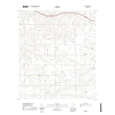
2021 Map of Sycamore
USGS Topo · Published 2021About this map
Sycamore and Greensboro define the upland agricultural and timber character of this North Florida landscape, where the terrain is segmented by a dense network of creek branches. The 2021 topography reveals how the boundary between Gadsden Co and Liberty Co follows the natural drainage patterns of Telogia Cr and its tributaries. For those tracing local families, the map is punctuated with namesake landmarks such as Smith Cem, Gause Cem, and Pitts Point. The drainage of Flat Cr in the north and the expansive wetlands surrounding Pitt Land Slide Pond show a region where water management and road placement, like Little Sycamore Rd, are dictated by the underlying creek systems. The proximity of Juniper to the dense wetland pockets highlights the intersection of small-town settlement and the wilder aquatic corridors of the Florida panhandle.
Find a feature on this map
72 named features on this map. Tap any name to fly to it.
Don’t see what you’re looking for? This feature index may not catch every label — zoom into the map to look around manually.
Map Details
Editions of this 2021 Sycamore Map
This is the sole edition of this map. No revisions or reprints were ever made.
Other maps of this area

1943 · Lake Talquin
USGS Topo · 1:62,500

1945 · Hosford
USGS Topo · 1:31,680

1945 · Bristol
USGS Topo · 1:31,680

1954 · Sneads
USGS Topo · 1:24,000

1954 · Tallahassee
USGS Topo · 1:250,000

1955 · Rock Bluff
USGS Topo · 1:24,000

1955 · Sycamore
USGS Topo · 1:24,000

1955 · Chattahoochee
USGS Topo · 1:24,000

1955 · Mt Pleasant
USGS Topo · 1:24,000

1959 · Tallahassee
USGS Topo · 1:250,000