Loading...
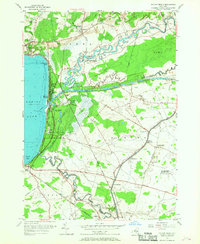
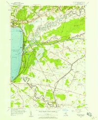
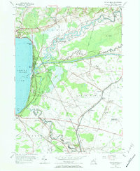
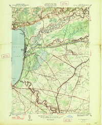
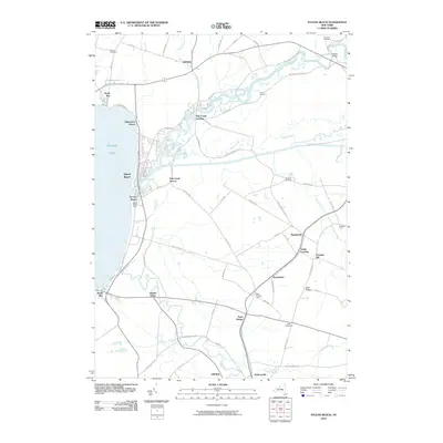
Loading map...1955 Map of Sylvan Beach
USGS Topo · Published 1968About this map
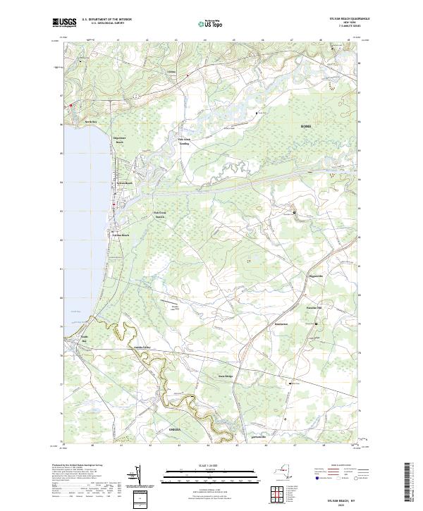
Sylvan Beach serves as the focal point for this mid-century survey of the eastern shore of Oneida Lake. The landscape is defined by the confluence of water and transport infrastructure, where the modern Erie Canal cuts a straight path through the meandering bends of Fish Creek and Wood Creek. This era shows the active presence of both the New York Ontario and Western RR and the New York Central RR, which facilitated the region's development as a recreational and transit hub.
Find a feature on this map
46 named features on this map. Tap any name to fly to it.
Don’t see what you’re looking for? This feature index may not catch every label — zoom into the map to look around manually.
Map Details
Date Portrayed1955
Date Published1968
PublisherU.S. Geological Survey
Map TypeTopographic
Scale1:24,000
Physical Dimensions22 x 26.9 inches
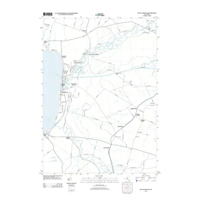
Editions of this 1955 Sylvan Beach Map
4 editions found

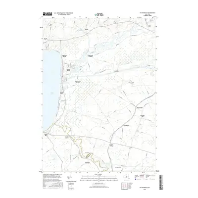
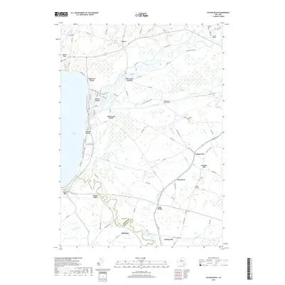
Historical Maps of Rome Through Time
7 maps found
Featured Locations
Source Details
SourceU.S. Geological Survey
CopyrightPublic Domain