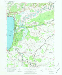
1955 Map of Sylvan Beach
USGS Topo · Published 1984About this map
The eastern shore of Oneida Lake defines this mid-century landscape, where the confluence of historic waterways and early transportation routes shaped the growth of Oneida and Madison Counties. Sylvan Beach and Verona Beach serve as the primary lakeside hubs, situated where Fish Creek and the Erie Canal meet the water. The infrastructure of the New York Ontario and Western Railroad is visible cutting through the terrain, connecting inland points like Fish Creek Station to the shoreline.
Find a feature on this map
45 named features on this map. Tap any name to fly to it.
Don’t see what you’re looking for? This feature index may not catch every label — zoom into the map to look around manually.
Map Details
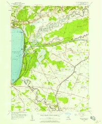
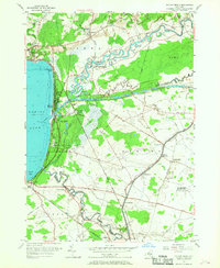
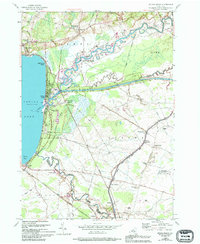
Editions of this 1955 Sylvan Beach Map
4 editions found
Other maps of this area

1895 · Chittenango
USGS Topo · 1:62,500

1895 · Oneida
USGS Topo · 1:62,500

1898 · Oneida
USGS Topo · 1:62,500

1898 · Chittenango
USGS Topo · 1:62,500

1902 · Chittenango
USGS Topo · 1:62,500

1902 · Oneida
USGS Topo · 1:62,500

1905 · Taberg
USGS Topo · 1:62,500

1906 · Kasoag
USGS Topo · 1:62,500

1939 · Oneida
USGS Topo · 1:62,500

1941 · Jewell
USGS Topo · 1:24,000