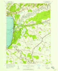
1955 Map of Sylvan Beach
USGS Topo · Published 1958About this map
Sylvan Beach and Verona Beach serve as the primary hubs along the eastern shore of Oneida Lake in this mid-century survey. The landscape is defined by the confluence of major waterways and transport corridors, including the winding Fish Creek and the industrial path of the Erie Canal. Inland, the area transitions from the recreational lakefront to a mix of rural hamlets and infrastructure, such as the US Military Reservation Verona Test Site and the New York Ontario and Western rail line. Local history is anchored by several small cemeteries and landmarks like Irish Ridge Ch and Stone Sch, reflecting a settled landscape of small communities including Oneida Valley, State Bridge, and Higginsville connected by a network of drainage canals and seasonal creeks.
Find a feature on this map
46 named features on this map. Tap any name to fly to it.
Don’t see what you’re looking for? This feature index may not catch every label — zoom into the map to look around manually.
Map Details
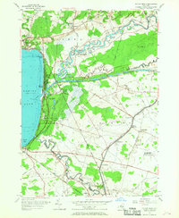
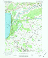
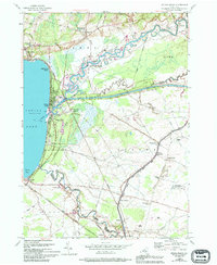
Editions of this 1955 Sylvan Beach Map
4 editions found
Other maps of this area

1895 · Chittenango
USGS Topo · 1:62,500

1895 · Oneida
USGS Topo · 1:62,500

1898 · Oneida
USGS Topo · 1:62,500

1898 · Chittenango
USGS Topo · 1:62,500

1902 · Chittenango
USGS Topo · 1:62,500

1902 · Oneida
USGS Topo · 1:62,500

1905 · Taberg
USGS Topo · 1:62,500

1906 · Kasoag
USGS Topo · 1:62,500

1939 · Oneida
USGS Topo · 1:62,500

1941 · Jewell
USGS Topo · 1:24,000