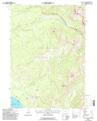
1991 Map of Sylvan Lake
USGS Topo · Published 1996About this map
Signal Hills and the surrounding peaks of the North Absaroka Wilderness dominate this high-elevation landscape within Yellowstone National Park. The terrain is defined by extreme vertical relief, including the 10,000-foot summits of Mount Doane and Mount Stevenson. The survey captures the transition between the park’s volcanic geomorphology and the adjacent Shoshone National Forest, marked by the presence of several Thermal Areas and the deep depression of Brimstone Basin.
Find a feature on this map
28 named features on this map. Tap any name to fly to it.
Don’t see what you’re looking for? This feature index may not catch every label — zoom into the map to look around manually.
Map Details
Editions of this 1991 Sylvan Lake Map
2 editions found
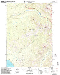
Other maps of this area

1885 · Lake
USGS Topo · 1:125,000

1886 · Canyon
USGS Topo · 1:125,000

1895 · Canyon
USGS Topo · 1:125,000

1895 · Lake
USGS Topo · 1:125,000

1896 · Lake
USGS Topo · 1:125,000

1896 · Canyon
USGS Topo · 1:125,000

1901 · Canyon
USGS Topo · 1:125,000

1901 · Lake
USGS Topo · 1:125,000

1906 · Lake
USGS Topo · 1:125,000

1907 · Canyon
USGS Topo · 1:125,000