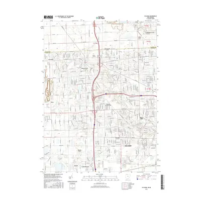
2016 Map of Sylvania
USGS Topo · Published 2016About this map
The Michigan-Ohio State Line defines the northern reaches of this landscape where Sylvania and its neighboring communities meet the suburban outskirts of Toledo. This area shows a dense network of residential expansion and institutional land use, anchored by the campus of Lourdes University and several major memorial grounds including Toledo Memorial Park Cemetery and Resurrection Cemetery. The terrain is drained by the meandering courses of the Ottawa River and Tenmile Creek, which flow through the established neighborhoods of Ottawa Hills and Reynolds Corners. In the northwest, the small settlement of Centennial and the Toledo Suburban Airport near Lambertville indicate the transition from dense urban street grids to the more open, surveyed sections near the state boundary.
Find a feature on this map
43 named features on this map. Tap any name to fly to it.
Don’t see what you’re looking for? This feature index may not catch every label — zoom into the map to look around manually.
Map Details
Editions of this 2016 Sylvania Map
This is the sole edition of this map. No revisions or reprints were ever made.
Other maps of this area

1900 · Toledo
USGS Topo · 1:62,500

1911 · Swanton
USGS Topo · 1:62,500

1912 · Dundee
USGS Topo · 1:62,500

1914 · Swanton
USGS Topo · 1:62,500

1926 · Dundee
USGS Topo · 1:62,500

1934 · Rossford
USGS Topo · 1:24,000

1935 · Whitehouse
USGS Topo · 1:24,000

1935 · Maumee
USGS Topo · 1:24,000

1935 · Berkey
USGS Topo · 1:24,000

1936 · Samaria
USGS Topo · 1:31,680