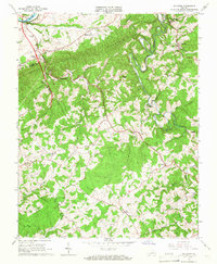
1965 Map of Sylvatus
USGS Topo · Published 1967About this map
New River frontage and the early presence of Interstate 81 characterize this mid-1960s survey of the border between Wythe and Carroll counties. The northern landscape is anchored by the Old Shot Tower near Jackson Ferry, a site of significant early industrial history. To the south, the winding course of Little Reed Island Creek flows past the community of Sylvatus, which serves as a local hub for the surrounding ridges. The interior of the quadrangle is heavily wooded and defined by Poplar Camp Mountain, yet it remains dotted with small landmarks of community life, including Laurel Sch and numerous country churches like Pine Grove Ch and Round Knob Ch. The network of backroads and creek-bottom settlements like Shorts Creek and Raekettown reflects a long-established rural pattern of life before modern development moved through the region.
Find a feature on this map
37 named features on this map. Tap any name to fly to it.
Don’t see what you’re looking for? This feature index may not catch every label — zoom into the map to look around manually.
Map Details
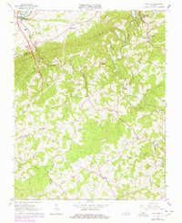
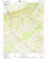
Editions of this 1965 Sylvatus Map
3 editions found
Other maps of this area

1889 · Hillsville
USGS Topo · 1:125,000

1892 · Hillsville
USGS Topo · 1:125,000

1896 · Hillsville
USGS Topo · 1:125,000

1930 · Max Meadows
USGS Topo · 1:62,500

1931 · Galax
USGS Topo · 1:48,000

1933 · Galax
USGS Topo · 1:62,500

1953 · Winston-Salem
USGS Topo · 1:250,000

1955 · Winston-Salem
USGS Topo · 1:250,000

1956 · Macks Mountain
USGS Topo · 1:62,500

1957 · Mount Airy
USGS Topo · 1:62,500