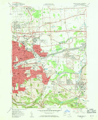
1957 Map of Syracuse East
USGS Topo · Published 1962About this map
The eastern expansion of Syracuse and the surrounding township of De Witt are shown here as suburban development meets the industrial and military infrastructure of the mid-century. To the north, Syracuse Municipal Airport (Hancock Field) sits adjacent to the Syracuse Air Force Station and the New York Air National Guard, highlighting the area's strategic importance. The central landscape is dominated by the massive Dewitt Yards of the New York Central railroad, a critical logistics hub that fueled the growth of East Syracuse and Minoa. Academic and social life are anchored by institutions such as Le Moyne College and the Nottingham High Sch, while the southern reaches near Woodchuck Hill transition into the extraction operations at the Jamesville Rock Quarry and the natural terrain of Clark Reservation.
Find a feature on this map
81 named features on this map. Tap any name to fly to it.
Don’t see what you’re looking for? This feature index may not catch every label — zoom into the map to look around manually.
Map Details
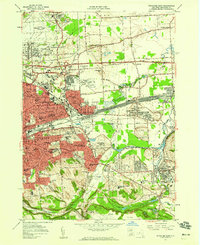
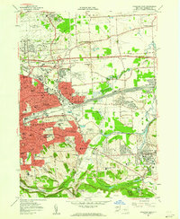
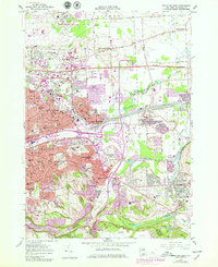
Editions of this 1957 Syracuse East Map
4 editions found
Other maps of this area

1895 · Chittenango
USGS Topo · 1:62,500

1895 · Syracuse
USGS Topo · 1:62,500

1897 · Cazenovia
USGS Topo · 1:62,500

1898 · Syracuse
USGS Topo · 1:62,500

1898 · Chittenango
USGS Topo · 1:62,500

1899 · Cazenovia
USGS Topo · 1:62,500

1900 · Tully
USGS Topo · 1:62,500

1902 · Chittenango
USGS Topo · 1:62,500

1938 · Syracuse East
USGS Topo · 1:24,000

1939 · Syracuse West
USGS Topo · 1:24,000