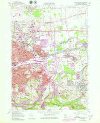
1957 Map of Syracuse East
USGS Topo · Published 1979About this map
Syracuse and its eastern suburbs are shown here during a period of massive infrastructure expansion, transitioning from nineteenth-century water and rail routes to the modern interstate era. The legacy of the Old Erie Canal and the Limestone Aqueduct sits in the shadow of major rail operations at the Dewitt Yards, while the newly revised landscape is dominated by the New York State Thruway, Interstate 690, and the sprawling Carrier Circle interchange. This juxtaposition of eras is clearest near De Witt and East Syracuse, where industrial and transit hubs press against long-established academic institutions like Syracuse University and Le Moyne College. The map also captures significant military and aviation footprints at Hancock Field U S Air Force and the Syracuse Hancock International Airport. To the south, the industrial scale of the Jamesville Rock Quarry and the protected terrain of Clark Reservation State Park provide a sharp contrast to the dense residential grids of Eastwood and Fayetteville.
Find a feature on this map
76 named features on this map. Tap any name to fly to it.
Don’t see what you’re looking for? This feature index may not catch every label — zoom into the map to look around manually.
Map Details
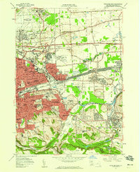
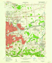
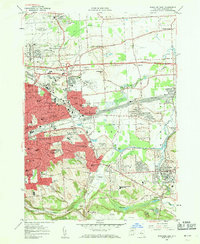
Editions of this 1957 Syracuse East Map
4 editions found
Other maps of this area

1895 · Chittenango
USGS Topo · 1:62,500

1895 · Syracuse
USGS Topo · 1:62,500

1897 · Cazenovia
USGS Topo · 1:62,500

1898 · Syracuse
USGS Topo · 1:62,500

1898 · Chittenango
USGS Topo · 1:62,500

1899 · Cazenovia
USGS Topo · 1:62,500

1900 · Tully
USGS Topo · 1:62,500

1902 · Chittenango
USGS Topo · 1:62,500

1938 · Syracuse East
USGS Topo · 1:24,000

1939 · Syracuse West
USGS Topo · 1:24,000