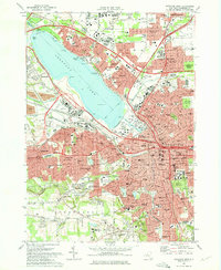
1973 Map of Syracuse West
USGS Topo · Published 1975About this map
Onondaga Lake serves as the focal point for this mid-1970s landscape, with its eastern shore heavily urbanized by the expanding city of Syracuse. The map documents a dense network of institutional and religious infrastructure, including the Syracuse University campus and its Archbold Stadium, as well as Le Moyne College to the east. The industrial and transit footprint is evident through the massive corridors of the New York State Thruway and the Penn Central railroad, which cut through established neighborhoods like Solvay and Galeville.
Find a feature on this map
87 named features on this map. Tap any name to fly to it.
Don’t see what you’re looking for? This feature index may not catch every label — zoom into the map to look around manually.
Map Details
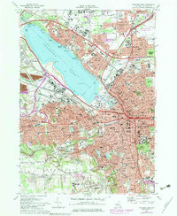
Editions of this 1973 Syracuse West Map
2 editions found
Other maps of this area

1895 · Syracuse
USGS Topo · 1:62,500

1898 · Syracuse
USGS Topo · 1:62,500

1899 · Skaneateles
USGS Topo · 1:62,500

1900 · Baldwinsville
USGS Topo · 1:62,500

1900 · Tully
USGS Topo · 1:62,500

1902 · Skaneateles
USGS Topo · 1:62,500

1938 · Syracuse East
USGS Topo · 1:24,000

1939 · Syracuse West
USGS Topo · 1:24,000

1940 · Brewerton
USGS Topo · 1:24,000

1940 · Cicero
USGS Topo · 1:24,000