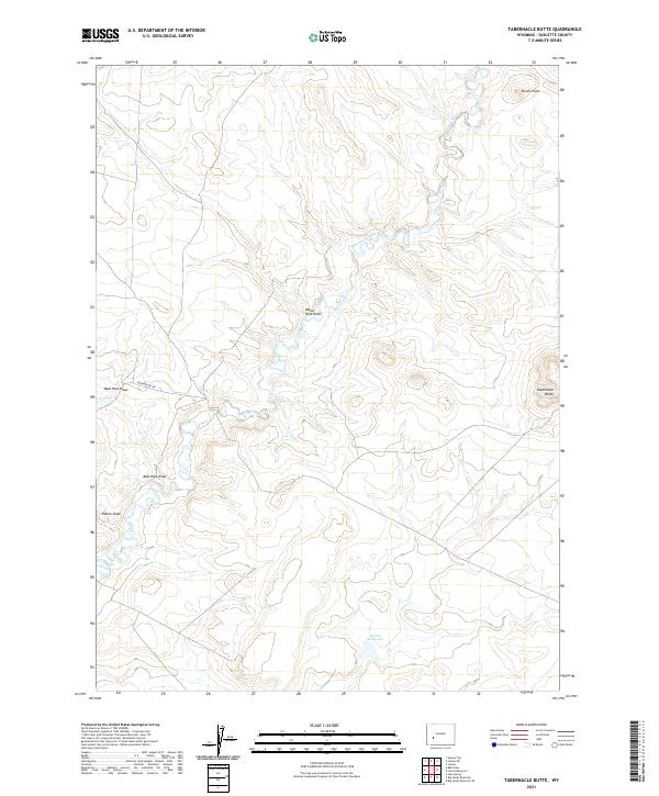
2021 Map of Tabernacle Butte
USGS Topo · Published 2021About this map
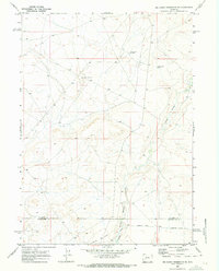
The Big Sandy River meanders across this high desert landscape in Sublette County, defining the drainage patterns for a series of seasonal draws and reservoirs. The terrain is anchored by prominent landmarks such as Pencil Point in the north and the namesake Tabernacle Butte in the southeast, which rise above the surrounding sagebrush and grassland. This modern survey illustrates a quiet corner of Wyoming where land management and ranching history meet, evidenced by the presence of Poston Reservoir and naming conventions like Erramouspe Rd. The map tracks several topographic depressions including Water Hole Draw, Mud Hole Draw, and Poston Draw, which channel the limited water of the region toward the primary river system.
Find a feature on this map
12 named features on this map. Tap any name to fly to it.
Don’t see what you’re looking for? This feature index may not catch every label — zoom into the map to look around manually.
Map Details
Editions of this 2021 Tabernacle Butte Map
This is the sole edition of this map. No revisions or reprints were ever made.
Other maps of this area

1955 · Lander
USGS Topo · 1:250,000

1958 · Lander
USGS Topo · 1:250,000

1961 · Lander
USGS Topo · 1:250,000
1964 · Square Top
USGS Topo · 1:24,000
1969 · Juel Spring
USGS Topo · 1:24,000

1969 · Leckie Reservoir
USGS Topo · 1:24,000

1969 · Leckie SW
USGS Topo · 1:24,000
1969 · Bull Draw
USGS Topo · 1:24,000

1969 · Tabernacle Butte
USGS Topo · 1:24,000
1969 · Big Sandy Reservoir SE
USGS Topo · 1:24,000